About the Project
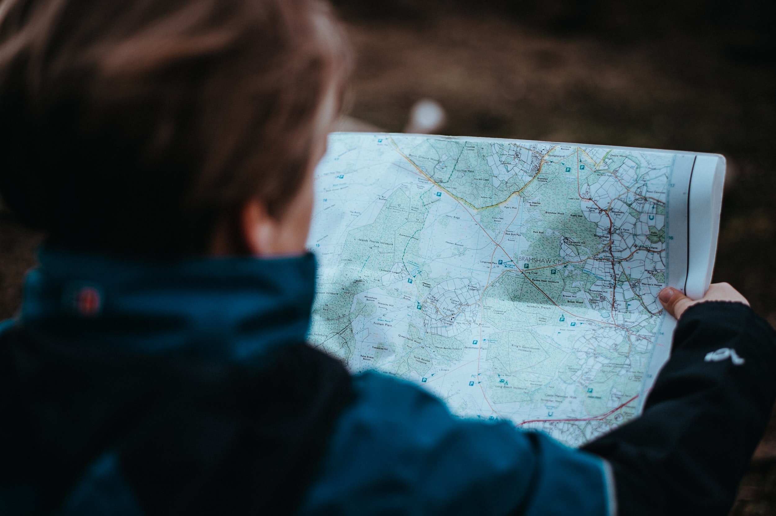
Map it or lose it goes beyond reimagining the Westfjords and takes it to a whole new level. We are on the ground mapping wilderness in two new areas of Iceland: the Hofsjokull/Þjórsárver.
Located in the central highlands, Hofjokull is the third largest ice cap in Iceland and the largest active volcano in the country, and Þjórsárver is unique in nature due to its vegetation cover being over 600 meters high. We are using Geographical Information Systems (GIS) mapping in order to highlight the impacts that industrial developments can have on wilderness quality and make the case stronger for protection.
Wilderness is a shrinking resource and Map It or Lose It is fighting to preserve this region’s “untouched wilderness.” This project’s focus is on mapping the area so we can make better decisions for the future in policy and planning, decision-making and supper, and designation and protection of these wilderness lands.
“The proportion of wild areas in Europe that can be called "untouched wilderness" is about 1%, of which about 43% are in Iceland.”
“It can therefore be said that Icelanders are not only responsible for protecting their own wilderness for themselves and nature, but also for Europe as a whole.”

The European Union Nature Conservation Act on Wilderness:
“A wilderness is an area governed by natural processes. It is composed of native habitats and species, and large enough for the effective ecological functioning of natural processes. It is unmodified or only slightly modified and without intrusive or extractive human activity, settlements, infrastructure, or visual disturbance.”
Wilderness / víðerni
Nature Conservation Act no. 60/2013
Article 5/18:
Wilderness: Areas where people do not have permanent residence and where structures do not exist or are inconspicuous.
Article 5/19:
Uninhabited wilderness: An area in the wilderness that is usually at least 25 km2 to a size or in such a way that solitude and nature can be enjoyed there without interruption by structures or traffic of motor vehicles and [as a rule] at least 5 km away from structures and other technical traces such as power lines, power plants, reservoirs and built roads.
What does this mean?
Our group of highly specialized scientists is on the front lines scaling this area in order to map Iceland’s wilderness–we are quantifying the qualitative. Thus, to achieve successful mapping efforts, our maps and rigid lines must fit into the criteria of the definitions as described under the Nature Conservation Act. If we can do this, we can preserve the region’s untouched wilderness and NOT lose it!

How Do We Map It?
Iceland’s highlands have spectacular views, limited motorized access making the area remote, with many natural ecosystems. First, we must get on the ground in order to model the size of the area and its remoteness, note any access issues and visual intrusions from human features, survey the rugged and challenging nature of the land, and document the naturalness of the region.
We have modified the work we have done in Scotland on perceived naturalness of land cover, absence of modern human artifacts, rugged and challenging terrain, and remoteness from mechanized access. Why Scotland? Because the qualities of the landscapes are similar which makes techniques used in Scotland transferable to Iceland.
By scaling the region, we are able to create present-day maps of the area. The present-day maps are then transformed into post-construction maps which are able to display what would happen to the land if it becomes industrialized. It displays clear and distinct distinct shrinkage in the wilderness areas of Iceland. Thus, Geographical Information Systems (GIS) mapping makes the case for stronger protection!

On the Blog


We are trying to combat the contemporary threats to the Highlands of Iceland. Threats like climate change, renewable energy (hydro, wind, geothermal), and recreation (e.g. 4x4 off-road driving). We are generally using four different categories of methods that were created using the Scottish National Heritage (SNH) methodology in order to protect the Highlands.